Distance from points
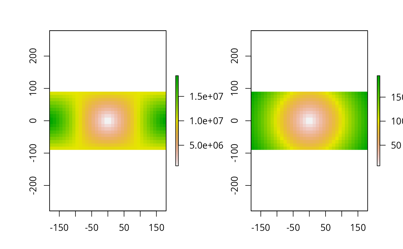
distanceFromPoints.RdThe function calculates the distance from a set of points to all cells of a Raster* object.
The distance unit is in meters if the coordinate reference system (crs) of the Raster* object is (+proj=longlat) or assumed to be if the crs is NA. In all other cases it is in the units defined by the crs (which typically is meters).
Arguments
- object
Raster object
- xy
matrix of x and y coordinates, or a SpatialPoints* object.
- filename
character. Optional filename for the output RasterLayer
- ...
Additional arguments as for
writeRaster
Details
Distances for longlat data are computed on the WGS84 spheroid using GeographicLib (Karney, 2013)
References
C.F.F. Karney, 2013. Algorithms for geodesics, J. Geodesy 87: 43-55. doi:10.1007/s00190-012-0578-z .